Neighbourhood · #108
Briar Hill-Belgravia
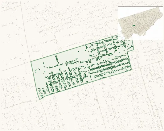
2,394 street trees · 0.47 km² · pop. 14,575
What the numbers say
Briar Hill-Belgravia is middle-of-the-pack for street trees (75th of 158), with 2,394 city-owned street trees across 0.47 km² — 5,137 per km².
Tree canopy covers 10.2% of the neighbourhood (149th of 158) — essentially unchanged since 2008. (This includes all trees — street, park, and private — from the 2018 land-cover raster.) Heat-risk proxy ranks it 7th-hottest in the city.
Across 150 distinct species (Shannon diversity 4.28, 18th of 158), the most common is acer platanoides at 6.8% of the trees.
Most common species here
| Species | Trees | Share |
|---|---|---|
| Norway Maple acer platanoides | 162 | 6.8% |
| Honey Locust gleditsia triacanthos | 89 | 3.7% |
| Japanese Lilac syringa reticulata | 85 | 3.6% |
| Colorado Blue Spruce picea pungens | 80 | 3.3% |
| Cedar thuja | 76 | 3.2% |
The biggest tree on record
A White Oak (quercus alba) at 99 BOWIE AVE — 130 cm DBH, the largest of the 2,394 street trees here. · Street View
Explore
Tree counts and species from the City of Toronto Street Tree dataset (city-owned trees in the road allowance only — not parks or private property). Canopy % and heat proxy derive from the 2018 land-cover raster. Population is from the 2021 census, joined by the 158-neighbourhood model.