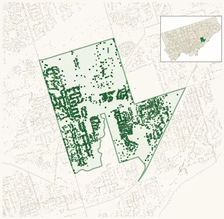
Neighbourhood · #120
Clairlea-Birchmount
5,324 street trees · 1.92 km² · pop. 26,840
What the numbers say
Clairlea-Birchmount is among the least-forested in the city (138th of 158), with 5,324 city-owned street trees across 1.92 km² — 2,778 per km².
Tree canopy covers 16.5% of the neighbourhood (124th of 158) — down 2.5 points since 2008. (This includes all trees — street, park, and private — from the 2018 land-cover raster.)
Across 167 distinct species (Shannon diversity 4.18, 51st of 158), the most common is syringa reticulata at 5.3% of the trees.
Most common species here
| Species | Trees | Share |
|---|---|---|
| Japanese Lilac syringa reticulata | 280 | 5.3% |
| Norway Maple acer platanoides | 241 | 4.5% |
| Kentucky Coffeetree gymnocladus dioicus | 236 | 4.4% |
| Red Oak quercus rubra | 202 | 3.8% |
| Honey Locust Skyline gleditsia triacanthos f. inermis 'skyline' | 201 | 3.8% |
The biggest tree on record
A Silver Maple (acer saccharinum) at 38 JEAVONS AVE — 171 cm DBH, the largest of the 5,324 street trees here. · Street View
Explore
Tree counts and species from the City of Toronto Street Tree dataset (city-owned trees in the road allowance only — not parks or private property). Canopy % and heat proxy derive from the 2018 land-cover raster. Population is from the 2021 census, joined by the 158-neighbourhood model.