Neighbourhood · #053
Henry Farm
2,100 street trees · 0.67 km² · pop. 19,840
What the numbers say
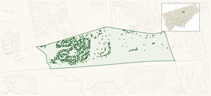
Henry Farm is middle-of-the-pack for street trees (130th of 158), with 2,100 city-owned street trees across 0.67 km² — 3,139 per km².
Tree canopy covers 20.5% of the neighbourhood (103rd of 158) — essentially unchanged since 2008. (This includes all trees — street, park, and private — from the 2018 land-cover raster.)
Across 128 distinct species (Shannon diversity 3.96, 115th of 158), the most common is acer platanoides at 10.4% of the trees.
Most common species here
| Species | Trees | Share |
|---|---|---|
| Norway Maple acer platanoides | 219 | 10.4% |
| Colorado Blue Spruce picea pungens | 125 | 6.0% |
| Austrian Pine pinus nigra | 119 | 5.7% |
| Sargents Apple malus sargentii | 80 | 3.8% |
| Littleleaf Linden tilia cordata | 78 | 3.7% |
The biggest tree on record
A Carolina Poplar (populus x canadensis (populus nigra x deltoides)) at 1 HAVENBROOK BLVD — 120 cm DBH, the largest of the 2,100 street trees here. · Street View
Explore
Tree counts and species from the City of Toronto Street Tree dataset (city-owned trees in the road allowance only — not parks or private property). Canopy % and heat proxy derive from the 2018 land-cover raster. Population is from the 2021 census, joined by the 158-neighbourhood model.