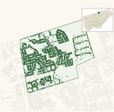
Neighbourhood · #048
Hillcrest Village
7,283 street trees · 1.39 km² · pop. 16,345
What the numbers say
Hillcrest Village is middle-of-the-pack for street trees (70th of 158), with 7,283 city-owned street trees across 1.39 km² — 5,237 per km².
Tree canopy covers 24.6% of the neighbourhood (81st of 158) — essentially unchanged since 2008. (This includes all trees — street, park, and private — from the 2018 land-cover raster.)
Across 172 distinct species (Shannon diversity 3.95, 116th of 158), the most common is acer platanoides at 10.0% of the trees.
Most common species here
| Species | Trees | Share |
|---|---|---|
| Norway Maple acer platanoides | 731 | 10.0% |
| Colorado Blue Spruce picea pungens | 536 | 7.4% |
| Sargents Apple malus sargentii | 454 | 6.2% |
| Littleleaf Greenspire Linden tilia cordata 'greenspire' | 342 | 4.7% |
| Norway Schwedler Maple acer platanoides 'schwedleri' | 333 | 4.6% |
The biggest tree on record
A White Birch (betula papyrifera) at 17 ZIRCON CRT — 150 cm DBH, the largest of the 7,283 street trees here. · Street View
Explore
Tree counts and species from the City of Toronto Street Tree dataset (city-owned trees in the road allowance only — not parks or private property). Canopy % and heat proxy derive from the 2018 land-cover raster. Population is from the 2021 census, joined by the 158-neighbourhood model.