Neighbourhood · #038
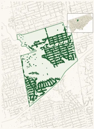
Lansing-Westgate
6,124 street trees · 1.37 km² · pop. 15,910
What the numbers say
Lansing-Westgate is middle-of-the-pack for street trees (95th of 158), with 6,124 city-owned street trees across 1.37 km² — 4,477 per km².
Tree canopy covers 46.2% of the neighbourhood (6th of 158) — down 2.6 points since 2008. (This includes all trees — street, park, and private — from the 2018 land-cover raster.) Heat-risk proxy ranks it 5th-coolest in the city.
Across 195 distinct species (Shannon diversity 4.25, 24th of 158), the most common is acer platanoides at 8.7% of the trees.
Most common species here
| Species | Trees | Share |
|---|---|---|
| Norway Maple acer platanoides | 534 | 8.7% |
| Colorado Blue Spruce picea pungens | 334 | 5.5% |
| Honey Locust gleditsia triacanthos | 202 | 3.3% |
| White Spruce picea glauca | 198 | 3.2% |
| Silver Maple acer saccharinum | 185 | 3.0% |
The biggest tree on record
A Silver Maple (acer saccharinum) at 297 SHEPPARD AVE W — 170 cm DBH, the largest of the 6,124 street trees here. · Street View
Explore
Tree counts and species from the City of Toronto Street Tree dataset (city-owned trees in the road allowance only — not parks or private property). Canopy % and heat proxy derive from the 2018 land-cover raster. Population is from the 2021 census, joined by the 158-neighbourhood model.