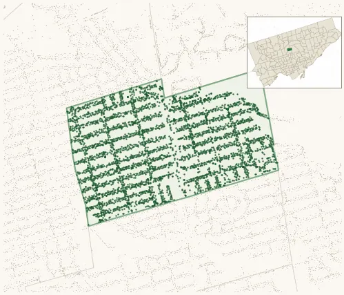
Neighbourhood · #105
Lawrence Park North
4,615 street trees · 0.59 km² · pop. 14,675
What the numbers say
Lawrence Park North is one of the most tree-dense neighbourhoods in Toronto — 12th of 158, with 4,615 city-owned street trees across 0.59 km² — 7,865 per km².
Tree canopy covers 34.4% of the neighbourhood (38th of 158) — up 5.5 points since 2008. (This includes all trees — street, park, and private — from the 2018 land-cover raster.)
Across 178 distinct species (Shannon diversity 4.15, 63rd of 158), the most common is acer platanoides at 12.0% of the trees.
Most common species here
| Species | Trees | Share |
|---|---|---|
| Norway Maple acer platanoides | 554 | 12.0% |
| Honey Locust gleditsia triacanthos | 227 | 4.9% |
| Freeman Autumn Blaze Maple acer x freemanii (a. rubrum x saccharinum) 'autumn blaze' | 192 | 4.2% |
| Japanese Lilac syringa reticulata | 171 | 3.7% |
| Ginkgo ginkgo biloba | 144 | 3.1% |
The biggest tree on record
A Siberian Elm (ulmus pumila) at 17 YONGE BLVD A — 200 cm DBH, the largest of the 4,615 street trees here. · Street View
Explore
Tree counts and species from the City of Toronto Street Tree dataset (city-owned trees in the road allowance only — not parks or private property). Canopy % and heat proxy derive from the 2018 land-cover raster. Population is from the 2021 census, joined by the 158-neighbourhood model.