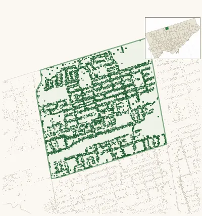
Neighbourhood · #036
Newtonbrook West
7,013 street trees · 1.20 km² · pop. 23,805
What the numbers say
Newtonbrook West is above-average for tree density (54th of 158), with 7,013 city-owned street trees across 1.20 km² — 5,838 per km².
Tree canopy covers 25.1% of the neighbourhood (78th of 158) — essentially unchanged since 2008. (This includes all trees — street, park, and private — from the 2018 land-cover raster.)
Across 175 distinct species (Shannon diversity 4.08, 85th of 158), the most common is acer platanoides at 10.1% of the trees.
Most common species here
| Species | Trees | Share |
|---|---|---|
| Norway Maple acer platanoides | 707 | 10.1% |
| Colorado Blue Spruce picea pungens | 391 | 5.6% |
| Norway Schwedler Maple acer platanoides 'schwedleri' | 370 | 5.3% |
| Sargents Apple malus sargentii | 311 | 4.4% |
| Silver Maple acer saccharinum | 254 | 3.6% |
The biggest tree on record
A European Buckthorn (rhamnus cathartica) at 42 FINCH AVE W — 200 cm DBH, the largest of the 7,013 street trees here. · Street View
Explore
Tree counts and species from the City of Toronto Street Tree dataset (city-owned trees in the road allowance only — not parks or private property). Canopy % and heat proxy derive from the 2018 land-cover raster. Population is from the 2021 census, joined by the 158-neighbourhood model.