Neighbourhood · #067
Playter Estates-Danforth
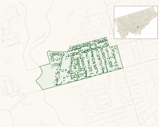
1,549 street trees · 0.23 km² · pop. 7,680
What the numbers say
Playter Estates-Danforth is above-average for tree density (30th of 158), with 1,549 city-owned street trees across 0.23 km² — 6,785 per km².
Tree canopy covers 31.6% of the neighbourhood (52nd of 158) — up 2.2 points since 2008. (This includes all trees — street, park, and private — from the 2018 land-cover raster.)
Across 145 distinct species (Shannon diversity 4.00, 106th of 158), the most common is acer platanoides at 14.9% of the trees.
Most common species here
| Species | Trees | Share |
|---|---|---|
| Norway Maple acer platanoides | 231 | 14.9% |
| Honey Locust gleditsia triacanthos | 88 | 5.7% |
| Red Oak quercus rubra | 68 | 4.4% |
| Ginkgo ginkgo biloba | 52 | 3.4% |
| Freeman Autumn Blaze Maple acer x freemanii (a. rubrum x saccharinum) 'autumn blaze' | 50 | 3.2% |
The biggest tree on record
A Red Oak (quercus rubra) at 34 PLAYTER CRES — 178 cm DBH, the largest of the 1,549 street trees here. · Street View
Explore
Tree counts and species from the City of Toronto Street Tree dataset (city-owned trees in the road allowance only — not parks or private property). Canopy % and heat proxy derive from the 2018 land-cover raster. Population is from the 2021 census, joined by the 158-neighbourhood model.