Neighbourhood · #055
Thorncliffe Park
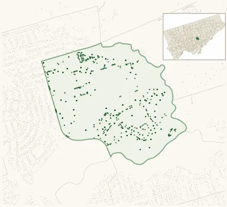
Neighbourhood Improvement Area 1,301 street trees · 0.80 km² · pop. 20,400
What the numbers say
Thorncliffe Park is among the least-forested in the city (156th of 158), with 1,301 city-owned street trees across 0.80 km² — 1,616 per km².
Tree canopy covers 25.7% of the neighbourhood (77th of 158) — up 1.2 points since 2008. (This includes all trees — street, park, and private — from the 2018 land-cover raster.)
Across 101 distinct species (Shannon diversity 3.88, 130th of 158), the most common is acer platanoides at 8.3% of the trees.
Most common species here
| Species | Trees | Share |
|---|---|---|
| Norway Maple acer platanoides | 108 | 8.3% |
| Red Oak quercus rubra | 92 | 7.1% |
| Freeman Autumn Blaze Maple acer x freemanii (a. rubrum x saccharinum) 'autumn blaze' | 89 | 6.8% |
| Kentucky Coffeetree gymnocladus dioicus | 73 | 5.6% |
| Hackberry celtis occidentalis | 60 | 4.6% |
The biggest tree on record
A Siberian Elm (ulmus pumila) at 95 RESEARCH RD — 108 cm DBH, the largest of the 1,301 street trees here. · Street View
Explore
Tree counts and species from the City of Toronto Street Tree dataset (city-owned trees in the road allowance only — not parks or private property). Canopy % and heat proxy derive from the 2018 land-cover raster. Population is from the 2021 census, joined by the 158-neighbourhood model.