Neighbourhood · #143
West Rouge
5,356 street trees · 2.25 km² · pop. 20,670
What the numbers say
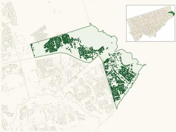
West Rouge is among the least-forested in the city (148th of 158), with 5,356 city-owned street trees across 2.25 km² — 2,376 per km².
Tree canopy covers 40.1% of the neighbourhood (18th of 158) — down 10.7 points since 2008. (This includes all trees — street, park, and private — from the 2018 land-cover raster.) Heat-risk proxy ranks it 12th-coolest in the city.
Across 158 distinct species (Shannon diversity 4.06, 93rd of 158), the most common is acer platanoides at 8.9% of the trees.
Most common species here
| Species | Trees | Share |
|---|---|---|
| Norway Maple acer platanoides | 476 | 8.9% |
| Honey Locust Shademaster gleditsia triacanthos f. inermis 'shademaster' | 295 | 5.5% |
| Norway Schwedler Maple acer platanoides 'schwedleri' | 273 | 5.1% |
| Littleleaf Linden tilia cordata | 240 | 4.5% |
| Hackberry celtis occidentalis | 208 | 3.9% |
The biggest tree on record
A Silver Maple (acer saccharinum) at 334 ROUGE HILLS DR — 160 cm DBH, the largest of the 5,356 street trees here. · Street View
Explore
Tree counts and species from the City of Toronto Street Tree dataset (city-owned trees in the road allowance only — not parks or private property). Canopy % and heat proxy derive from the 2018 land-cover raster. Population is from the 2021 census, joined by the 158-neighbourhood model.