Neighbourhood · #091
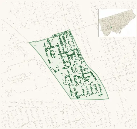
Weston-Pelham Park
Neighbourhood Improvement Area 1,934 street trees · 0.37 km² · pop. 10,680
What the numbers say
Weston-Pelham Park is middle-of-the-pack for street trees (71st of 158), with 1,934 city-owned street trees across 0.37 km² — 5,216 per km².
Tree canopy covers 11.4% of the neighbourhood (145th of 158) — essentially unchanged since 2008. (This includes all trees — street, park, and private — from the 2018 land-cover raster.) Heat-risk proxy ranks it 12th-hottest in the city.
Across 146 distinct species (Shannon diversity 4.17, 56th of 158), the most common is acer platanoides at 9.8% of the trees.
Most common species here
| Species | Trees | Share |
|---|---|---|
| Norway Maple acer platanoides | 190 | 9.8% |
| Honey Locust gleditsia triacanthos | 117 | 6.0% |
| Japanese Lilac syringa reticulata | 84 | 4.3% |
| Silver Maple acer saccharinum | 75 | 3.9% |
| Manitoba Maple acer negundo | 60 | 3.1% |
The biggest tree on record
A Silver Maple (acer saccharinum) at 45 TALBOT ST — 137 cm DBH, the largest of the 1,934 street trees here. · Street View
Explore
Tree counts and species from the City of Toronto Street Tree dataset (city-owned trees in the road allowance only — not parks or private property). Canopy % and heat proxy derive from the 2018 land-cover raster. Population is from the 2021 census, joined by the 158-neighbourhood model.