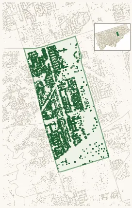
Neighbourhood · #119
Wexford/Maryvale
6,431 street trees · 2.66 km² · pop. 28,345
What the numbers say
Wexford/Maryvale is among the least-forested in the city (146th of 158), with 6,431 city-owned street trees across 2.66 km² — 2,421 per km².
Tree canopy covers 15.2% of the neighbourhood (132nd of 158) — essentially unchanged since 2008. (This includes all trees — street, park, and private — from the 2018 land-cover raster.)
Across 180 distinct species (Shannon diversity 4.29, 16th of 158), the most common is acer platanoides at 6.9% of the trees.
Most common species here
| Species | Trees | Share |
|---|---|---|
| Norway Maple acer platanoides | 443 | 6.9% |
| Kentucky Coffeetree gymnocladus dioicus | 243 | 3.8% |
| Honey Locust Skyline gleditsia triacanthos f. inermis 'skyline' | 236 | 3.7% |
| Japanese Lilac syringa reticulata | 227 | 3.5% |
| Red Oak quercus rubra | 209 | 3.2% |
The biggest tree on record
A Silver Maple (acer saccharinum) at 22 TWEED CRES — 162 cm DBH, the largest of the 6,431 street trees here. · Street View
Explore
Tree counts and species from the City of Toronto Street Tree dataset (city-owned trees in the road allowance only — not parks or private property). Canopy % and heat proxy derive from the 2018 land-cover raster. Population is from the 2021 census, joined by the 158-neighbourhood model.